
For fixed-table ground-mount teams
Plan the layout around the land.
Compare ground levels, grading and fixed-table heights in 3D. Review the changes before updating your design.
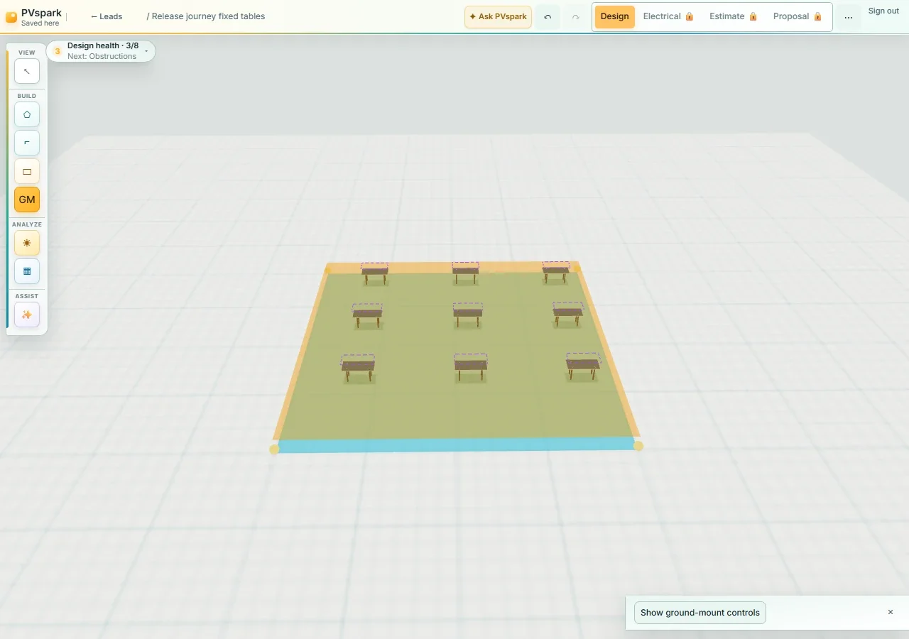 View full-size screenshot
 From terrain to layout
Compare before changing the design.
Check the terrain
See where elevation data supports the study and where information is missing.
Terrain tools →Try a grading option
Save a grading plane. Compare cut and fill, clearances and proposed table heights on the current site.
See the example →Review and share
Inspect changes in 3D, adopt eligible heights with undo, and export the study for review.
What’s new →
See the change first
Preview. Review. Then apply.
Compare the original and proposed surfaces. Confirm eligible table-height changes before applying them, with undo available.
Original terrain stays recorded. Review electrical resets and recalculate affected results after adoption.
See height review →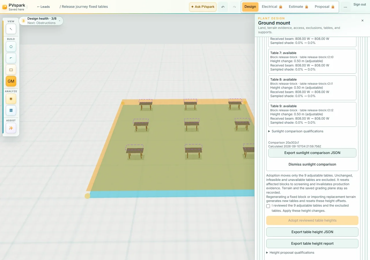 View full-size screenshot
 Larger projects
Start with your site.
Tell us the table count, terrain detail and files your team needs. Establish performance and output fit with a representative project.
Study scope
Know what the result covers.
For fixed-tilt tables and supplied elevation controls. Terrain is interpolated, clearances are sampled and unsupported areas are excluded. Match coordinates and height references before comparing results.
These studies do not establish survey accuracy or civil, drainage or foundation approval. Direct sunlight is a single-condition screen, not annual energy or electrical output.
DSM-assisted creation and general 3D model import are not included.
Full terrain scope →Energy and sunlight limits →See PVspark in action
See PVspark with your kind of project
Tell us what you design and what your customers need to see.